RROAD – KILOM
Embankments, consolidations, water drainage and widenings for roads
It is an AutoCAD add-on for the automatic supplementing and changing of the drawings resulted from software for the designing of the road geometry (like Micro PISTE-Setra program).
It is part of the RROAD software package, for the designing of roads and bridges.
Input data:
1) drawings for layout, longitudinal profile and cross sections; slopes file; these files result from road design software
2) the files for the mileage alignment, roadway extensions on bends and topographical data (resulting from the TOPOGRAPHY program), which contains the base layer, low-water mark and the Q2% debit level
3) interactively, it will indicate the application on zones of certain types of transverse profiles (ripraps, drilled columns, deepened foundation, gabions, anchored plates, embankment, rectangular gutter, triangular or trapezoidal ditches and retaining walls); some sizes are indicated by the user and others result from the adaptation of the type to the corresponding transverse profiles and to the base layer; 44 types are currently implemented
4) interactively, it will indicate the application on zones of certain parameterized types of pavement
5) data regarding the twin levels, the initial number of the first picket, the initial kilometer, the desired scale for the transverse profiles and the drawing step for the transverse profiles
6) size of the drawings, DWG for the indicator and the texts for supplementing it.
Output data:
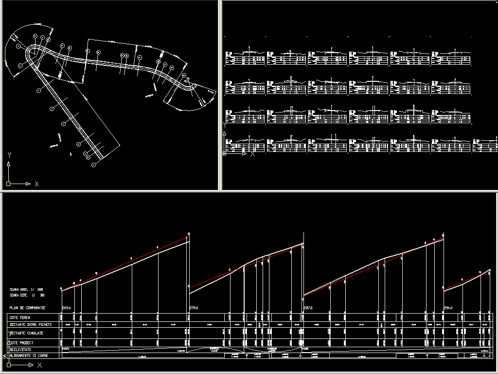
1) Drawings that contain the site plan, the longitudinal profile, the cross sections and the setting up of bends in the road. It automatically performs the division on drawings, scaling, numbering of the drawings, the corresponding supplementing of the indicator, the writing of the mileage and the distance between the pickets.
It will also be drawn:
In the plan view: the edges of the road in accordance with the roadway extensions on bends and the standard transverse profiles, applied.
In the longitudinal profile: average gradients, additional heights for the project line, the line for the bottom of the ditch, the drainage or the gutter, the drilled columns and the foundation plates or the anchored plates, (in accordance with the types of standard transverse profiles, applied), the low-water mark, the Q2% level and the base layer.
In the cross sections (rescaled and changed according to the roadway extensions on bends): dimensions for the designed profile, the road system and the standard transverse profiles applied, the dimensioned twin levels, the low-water mark, the Q2% level and the base layer.
2) Quantity files for the road system (pavement) and the standard transverse profiles applied and the application areas.

