RROAD – ANCHORED PLATES TRACING – 3D tracing of anchored plates
An AutoCAD add-on for 3D tracing of the anchored plates
It is part of the RROAD software package, for the designing of roads and bridges.
Input data:
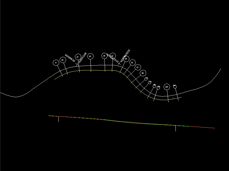
1) a DWG file that contains: the top view axis (base of the lower row) and the total longitudinal axis of the plates and 2 stations; the 2 axis result from the PISTE-POSTPROCESSOR program
2) a file which describes the numbers of rows and columns of the plates
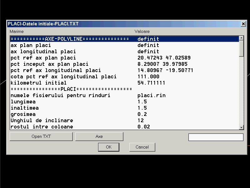
3) the initial point and kilometer for the emplacement, size, angle and joints of the plates
4) size of the drawings, DWG for the indicator and the texts for supplementing it.
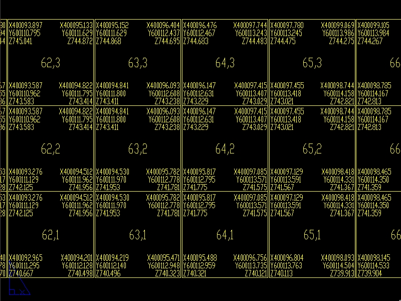
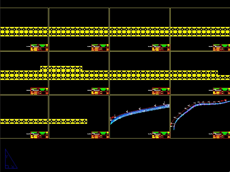
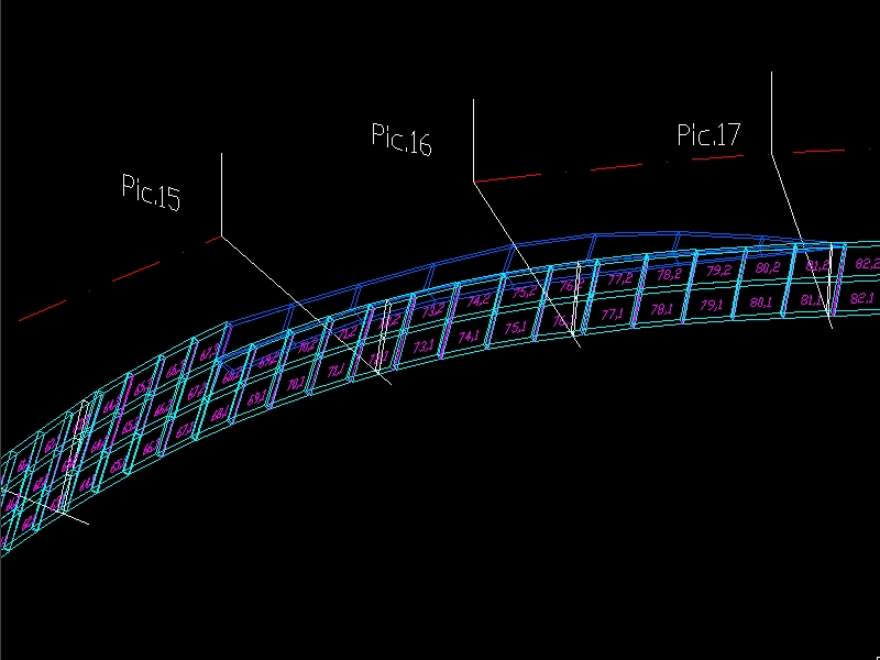
Output data:
– a drawing with 3D view of the plates and several drawings with the X,Y,Z coordinates of the drawing corners.